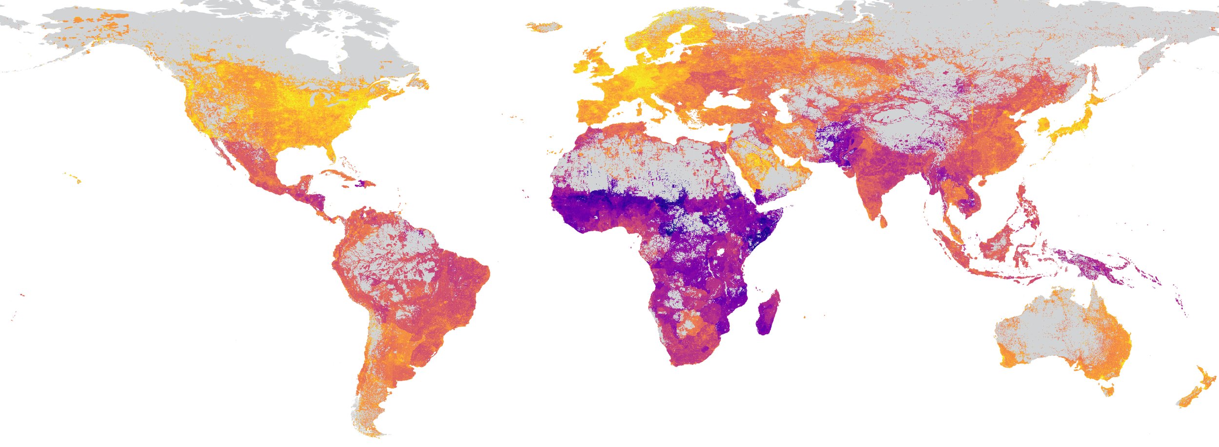
Satellite Imagery + Machine Learning
for Everyone
we make powerful machine learning with satellite imagery fast, easy, and accessible to non-experts

we make powerful machine learning with satellite imagery fast, easy, and accessible to non-experts